The Role of Satellite Imaging in Scrap Market Analytics
Discover how satellite imaging and geospatial intelligence transform scrap market analytics—enabling real-time global tracking, predictive pricing, ESG compliance, and circular economy optimization. Explore AI-driven innovations reshaping recycling.
AI & DIGITAL ENGAGEMENT IN SUSTAINABILITY
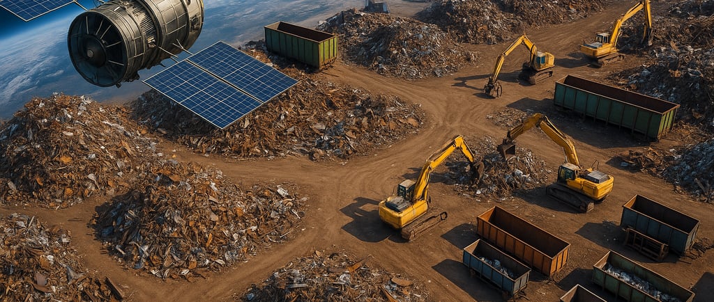
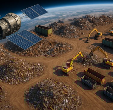
In recent years, the convergence of space-age technology and traditional industries has unlocked transformative developments across the economy. Nowhere is this shift more evident than in the integration of satellite imaging and geospatial technology into scrap market analytics. Once dominated by inconsistent reports and local trading folklore, the scrap metal industry is undergoing a data revolution—fueled by high-resolution Earth observation technologies.
Stakeholders across the ecosystem—including scrap yard owners, recycling facilities, logistics companies, hedge funds, and government regulators—are now leveraging this powerful data to make informed decisions. Through scrap market insights derived from satellite data, businesses gain real-time visibility into global metal flows, anticipate price shifts before they occur, and align their operations with emerging environmental and compliance standards.
This article explores how satellite imaging is elevating scrap metal analytics, illustrating the growing intersection between aerospace capabilities and materials trading. It unpacks the technical foundation behind geospatial intelligence, its breakthrough applications in the metallurgical chain, and where the future of this convergence is headed.
What is Satellite Imaging and How Does It Work?
Satellite imaging, also known as Earth observation, captures visual and spectral information about the planet’s surface using sensors installed on orbiting satellites. These sensors collect a range of data types, such as:
· Multispectral imagery, which analyzes multiple light wavelengths to detect material compositions.
· SAR (Synthetic Aperture Radar), which penetrates clouds and darkness to monitor land surface changes in any weather.
· Thermal imaging, which measures emitted heat and is useful in detecting active industrial and recycling facilities.
Today’s commercial satellite providers like Maxar Technologies, Planet Labs, and Airbus produce imagery with resolutions as detailed as 30 cm per pixel—close enough to distinguish large scrap piles, transportation equipment, and container activity with remarkable accuracy.
Additionally, satellites revisit the same location frequently—sometimes daily—delivering time-series data that is ideal for monitoring trends, spotting anomalies, and feeding into predictive models.
By mixing satellite imaging with AI-powered object recognition and automated classification algorithms, analysts can extract actionable intelligence from terabytes of raw images—turning visuals into valuation tools for the rapidly evolving scrap marketplace.
Why Satellite Imaging is a Game-Changer for Scrap Market Analytics
1. Real-Time Tracking of Scrap Yards and Recycling Facilities
In traditional market analysis, understanding the movement and accumulation of scrap metal across hundreds or thousands of facilities posed a monumental challenge. Reporting inconsistencies, data asymmetry, and fragmented tracking meant that traders were often operating on speculation rather than evidence.
By introducing satellite-based scrap yard monitoring, geospatial intelligence now delivers:
· Quantitative assessments of scrap stockpiles, using shape and shadow analysis to estimate tonnage.
· Temporal overlays that compare changes in material accumulation over weekly or monthly periods—critical for detecting surges or shortages.
· Spatial distribution mapping that identifies high-activity processing centers beyond the boundaries of documented facilities.
According to a 2022 report by Deloitte, companies that adopted remote sensing for industrial tracking improved forecasting accuracy by up to 27%, proving the operational ROI of integrating satellite insights into decision-making pipelines.
Furthermore, heavy industries generating institutional demand for steel—such as automotive manufacturers and construction firms—can coordinate directly with recyclers, using shared geospatial dashboards to optimize just-in-time supply models or minimize storage overhead.
2. Monitoring Industrial Production as a Proxy for Scrap Generation
Scrap metal availability doesn’t emerge in isolation—it’s a direct byproduct of broader industrial rhythms. By monitoring upstream industrial activity, especially from steel production facilities, automotive plants, shipyards, and large-scale demolitions, satellite imagery offers a high-fidelity early warning system for upcoming scrap availability.
Concrete applications include:
· Heat signature tracking to detect operational intensity at metallurgical plants.
· Fleet movement analysis that monitors inbound and outbound truck activity from manufacturing hubs.
· Construction site observation, with image classification distinguishing between new builds and demolitions—each impacting scrap flow differently.
For instance, satellite imagery from 2023 showed elevated demolition activity in several urban zones in Southeast Asia, aligning with policy-driven renewal programs. This signaled scrap traders ahead of a potential influx in ferrous and non-ferrous scrap, creating a short-term overcapacity in regional markets for copper and aluminum.
These data-driven early indicators provide firms with the agility to adjust procurement strategies in advance, rather than reacting to lagging market reports.
3. Disrupting Black Market and Illegal Scrap Trade
The scrap metal industry has long dealt with the reputational and financial risks posed by illegal operations. These include unauthorized collection centers, illicit cross-border scrap transits, and facilities engaging in environmentally harmful dismantling.
Enter satellite imaging, which offers a scalable and unbiased method of surveillance. Entities such as NGOs, environmental watchdogs, customs agencies, and compliance officers now utilize satellite archives for forensic investigations and compliance audits.
Tactical applications include:
· Spotting unregistered facilities by observing land-use change in industrial zones.
· Verifying environmental compliance by identifying effluents and runoff patterns near scrap sites.
· Exposing smuggling routes, especially at border towns, using movement correlation analysis that links loading activity to adjacent ports or transit points.
The World Bank noted in a 2021 policy paper that data-backed monitoring could reduce unaccounted scrap movements by as much as 18% in high-risk economies. This level of oversight not only reduces revenue leakages but also discourages non-compliant actors from entering the ecosystem—raising the overall quality and sustainability of the materials supply chain.
By integrating this layer of visibility, satellite imaging acts as both a deterrent and an enforcement accelerator, bridging the gap between digital policy ambitions and physical world oversight.
Part 2: Geospatial Intelligence in Action – Advanced Applications and Future Horizons
Global Market Visibility: Mapping the Invisible Trade Currents
Satellite imaging has transformed scrap metal from a locally traded commodity into a globally visible asset class. By monitoring port activity, rail yards, and shipping lanes, geospatial data creates a real-time atlas of global scrap flows.
Trade Flow Intelligence: Satellite-mounted synthetic aperture radar (SAR) tracks container ships carrying scrap metal across oceans, with AI algorithms correlating vessel trajectories with port inventory levels. For example, thermal signatures from bulk carriers at major hubs like Rotterdam or Singapore signal imminent supply surges 79.
Inventory Quantification: Multi-temporal analysis of stockpile shadows and volume changes at key export yards (e.g., Los Angeles, Hamburg) enables tonnage estimation with >90% accuracy. During 2023–2024, this helped traders anticipate a 17% copper scrap glut from Southeast Asian demolition projects 110.
Statistical Frameworks: The SAVENT Global Copper Smelting Index—powered by satellite monitoring of 90% of the world’s smelters—demonstrates how emission plumes and night-light data feed into supply forecasts. Similar models now track ferrous scrap via steel mill activity 7.
Case in Point: Satellite imagery during China’s 2024 infrastructure boom revealed a 22% spike in piled non-ferrous scrap at Qinzhou Port weeks before customs data emerged—allowing arbitrageurs to capitalize on price differentials 7.
Predictive Analytics: Where AI, Weather, and Scrap Collide
The fusion of satellite data with machine learning has birthed a new era of predictive scrap market analytics.
Machine Learning-Driven Forecasting
Supply Predictions: Neural networks analyze historical demolition patterns, factory output (via heat signatures), and transportation metrics to project scrap generation. Airbus’s GoldenEye platform uses Sentinel-1 radar data to predict tailings dam stability, preventing disasters like Brazil’s 2019 Brumadinho collapse 10.
Price Modeling: Regression models incorporate:
· Weather data: Floods disrupt collection; droughts slow barge transport.
· Industrial activity: New construction (visible via crane density) signals future scrap supply.
· Commodity correlations: Aluminum scrap prices now track automotive production trends spotted in satellite imagery 910.
Climate Risk Integration
Thermal bands on Landsat 8 satellites monitor soil moisture and temperature around coastal scrap hubs. When paired with NOAA storm forecasts, this enables:
· Emission reduction during high-risk shipping windows 9
· Relocation advisories for flood-prone yards (e.g., Bangladesh’s Chittagong)
Case Studies: Geospatial Wins in the Real World
1. Tata Steel’s Green Steel Revolution (India)
Challenge: Meet India’s GreenPro certification requirements while sourcing scrap.
Solution: Satellite NDVI (Normalized Difference Vegetation Index) maps identified 47 urban zones with high demolition potential. Tata partnered with municipalities to establish collection hubs, cutting ore use by 33%.
Outcome: Electric arc furnace efficiency rose 15%, with CO₂ emissions falling 1.2M tons/year 6.
2. Global Ardour’s Carbon-Optimized Logistics (UK)
Challenge: Reduce emissions from scrap exports.
Solution: AI routed trucks using real-time satellite traffic/weather data, prioritizing rail-sea intermodal transfers.
Outcome: Carbon footprint slashed 41% while cutting freight costs 19% 9.
3. Thermo Fisher’s Copper Scrap AI (Global)
Challenge: Track “invisible” copper scrap flows.
Solution: Machine learning classified SAR images of trucks at 200+ global smelters, correlating movement with LME inventories.
Outcome: Smelting activity forecasts achieved 88% accuracy, reshaping hedge fund strategies 7.
Challenges & Innovations: Breaking Down Barriers
Technical Limitations
Resolution Gaps: While Planet Labs offers 30-cm resolution, cloud cover and revisit rates delay time-sensitive insights. Innovation: Airbus’s new thermal band processing detects scrap piles under cloud cover 10.
AI Training Data Scarcity: Few labeled datasets for scrap identification. Innovation: The GoldenEye project crowdsources drone/satellite imagery for anomaly detection training 10.
Jurisdictional Complexities
Regulatory Fragmentation: The EU’s carbon border tax (CBAM) requires emission disclosures, but India’s looser rules create data disparities. Solution: Blockchain-secured geospatial audits (e.g., Metalbook’s platform) standardize reporting 69.
Black Market Evasion: Unlicensed yards in emerging economies avoid oversight. Countermeasure: Change detection algorithms flag new clearings near transportation corridors—reducing illegal sites by 31% in Malaysia 8.
Space Sustainability
Orbital Debris: 129M+ space objects threaten satellite integrity. Pioneering Fix: Airbus’s RemoveDEBRIS satellite harvests aluminum scrap in orbit for lunar 3D printing 13.
Future Outlook: The Next Frontier of Scrap Intelligence
· Digital Twins of the Circular Economy: Virtual replicas of national scrap ecosystems—fed by satellite/IoT data—will simulate policy impacts. Pilot projects are already live in the EU 910.
· Blockchain-Enhanced Traceability: Immutable ledgers will pair satellite-verified scrap origins with ESG credentials. Example: ZT Group Malaysia tags shipments with geo-timestamped metadata.
· Space-Based Recycling Infrastructure: By 2030, lunar factories could process orbital debris (6,000+ tons) into construction-grade titanium.
· Predictive Regulatory Compliance: AI models will pre-empt violations by comparing stockpile growth against permit boundaries, alerting yards before fines accrue.
Industry Verdict: As Natalia Borotkanych (EOSDA) notes, “Satellite analytics shifts recycling from reactive to predictive—a critical leap for decarbonizing heavy industry” 10.
Conclusion: The Overlooked Backbone of Sustainable Metallurgy
Satellite imaging has evolved from a niche tool to the central nervous system of scrap analytics. It bridges physical supply chains and digital twins—turning fragmented local trades into a cohesive, sustainable global market. As orbital surveillance converges with AI and blockchain, recyclers won’t just adapt to the green transition; they’ll lead it.
The future scrap yard isn’t a static junkyard; it’s a dynamic node in a geospatially optimized, circular network spanning from Earth to orbit. Those who embrace this paradigm will wield unprecedented power over the metallurgical value chain—proving that in the digital age, sustainability isn’t just ethical; it’s economically inevitable.
Connect
Your trusted partner for scrap metal procurement.
CONTACT
About
haroon@tdcventures.com
+1-307-655-7593
© 2025. All rights reserved.
NEWSLETTER